Pyrenees, France
Lac de Gaube, Pyrenees: 3D relief map
Colour 3D printed relief map
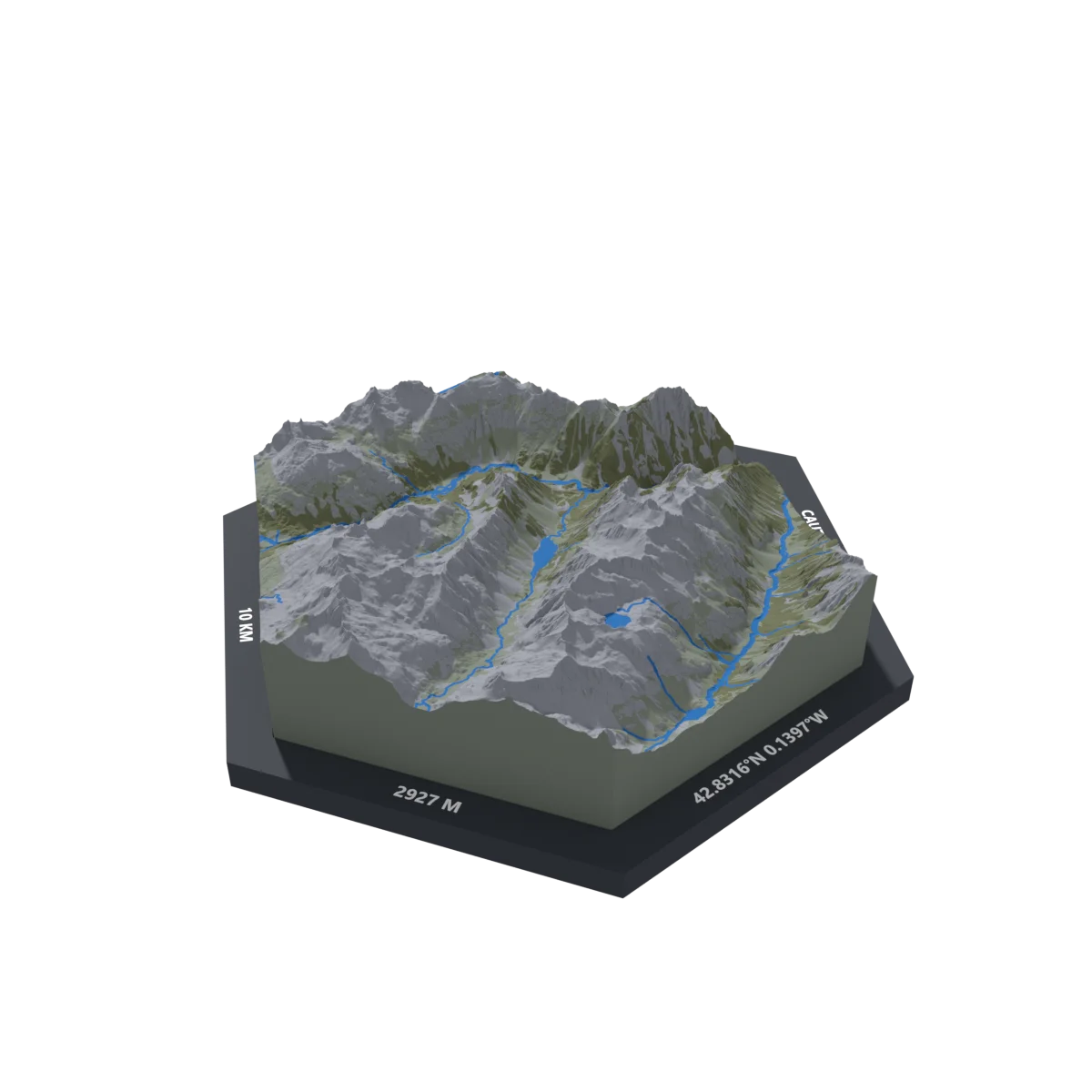
Lac de Gaube in the French Pyrenees, above Cauterets, with the valleys and peaks around it, over a 10 km area. It is where we hiked ourselves: Pont d’Espagne → Lac de Gaube.
It is a finished production model: order it as it is or change it, from the colours and rim texts to your own trail, added from a GPX file.
What is on the piece
- Printed area
- 10.3 km
- Highest point
- 2927 m
- Texts on the rim (you can change them)
- LAC DE GAUBE · CAUTERETS, FRANCE · 42.8316°N 0.1397°W · 2927 M · 10 KM
Sizes and prices
| 50 mm | €25 |
| 125 mm | €70 |
| 225 mm | €110 |
Prices for the colour version. Single colour costs half. VAT not applicable.
How ordering works
- Open the piece on the map and make it yours: size, colours, rim texts, your own trail if you have one.
- Pay when you order (card, Apple Pay, Google Pay or bank transfer) or on delivery. Before printing we send you the final render so you can ask for changes; until printing starts you can cancel for free.
- We print it in colour in Romania and ship it 5–10 working days after the order is confirmed, with Sameday (easybox or courier).
- 2-year legal guarantee: if the piece arrives with a defect, we reprint it for free.